Ozette Triangle Trail Overview
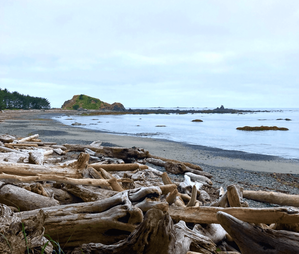
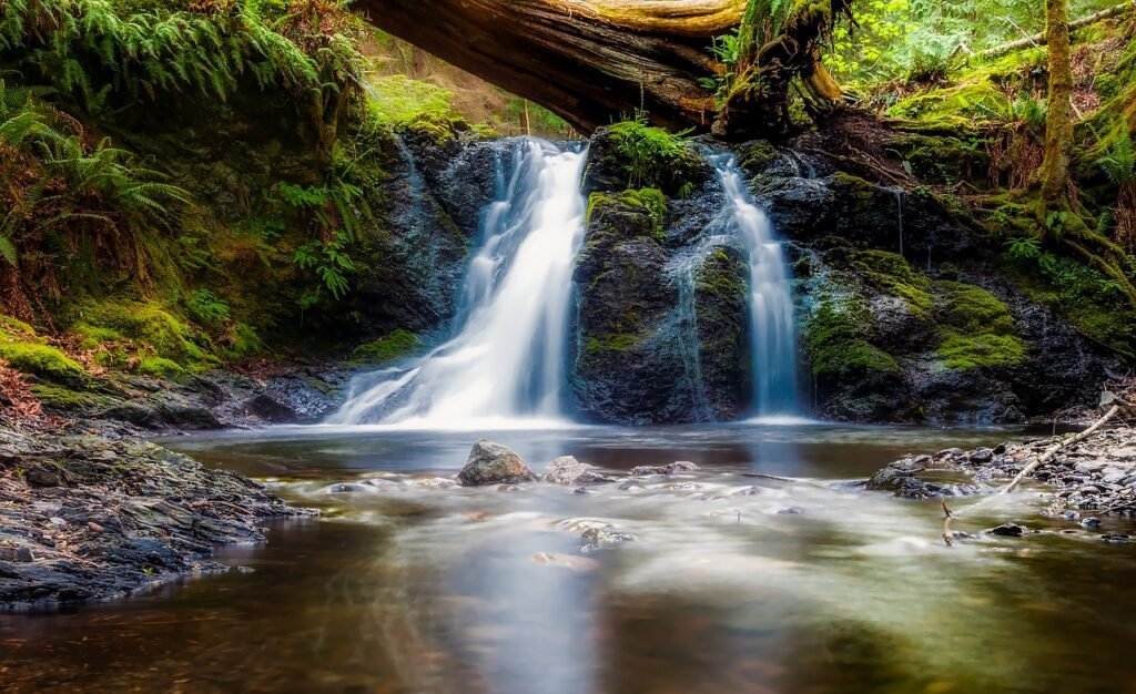
Hiking the Ozette Triangle Trail in Olympic National Park is a great intro to multi-day backpacking trips for beginners or serves as a good day hike. You can find the Cape Alava trail on the wild coastline of the Olympic Penisula in the Northwest corner. This trail gives you access to varied coastal ecosystems, ancient petroglyphs, and great beachside camping locations.
Key Things to Know Before You Hike
| Length: 9.4 miles | Type: Loop |
| Duration: Day Hike or Overnight | Difficulty: Easy |
| Elevation: 100 ft | Elevation Gain: 538 ft |
| Ecosystem: Ocean Beach and Coastal Forest | Best Time of Year: April through October |
Entrance Fee
There is a $35 per car fee to enter Olympic National Park unless you have an America the Beautiful park pass. I recommend buying this if you go to more than one park per year as it is an annual pass that also gives you access to National Parks and other areas like national forests and wildlife refuges.
Parking
Finding parking during the summer weekends can be difficult. I recommend getting there early if possible as this parking also services the Ozette Campground. The trail starts at the Ozette Ranger Station near Lake Ozette.
Backpacking Permits
All campsites along the Ozette Triangle Trail require permits. Make sure to book these in advance if you are hiking during peak season to get the best campsites. Visit the Olympic NPS website for the most up-to-date information on backpacking permits and make your reservations on recreation.gov.
Water and Food
Creeks can be found at both Sand Point and may have a light tan color from the leaves. Coastal water sources may contain Cryptosporidium and guardia. Be sure to either filter or boil your water as iodine tablets are not effective against cryptosporidium. During late summer months water sources often dry up so plan to carry all the water you may need on your hike. See our post about the best ways to treat water for more info. This hike isn’t overly difficult, but make sure to pack enough food whenever you are backpacking, reference our backpacking calorie calculator for an estimate.
Weather and Season
The weather in Olympic National Park can be unpredictable, so it’s important to be prepared for all conditions. The trail is accessible year-round, but the best time to hike the Ozette Triangle Trail is during the summer months when the weather is generally milder. Depending on the day this area can have fog or a light mist, so it’s worth packing a raincoat.
Make sure to consider the ocean tides to time the beach portion of the hike to access all that Cape Alava has to offer. Throughout the year, there are periods of high tides that may make beach areas temporarily impassible.
Difficulty
This trail is very accessible to all skill levels. It can be done either as a day hike or as a great option for a beginner multi-day hike with multiple boardwalks, well-placed campsites, and flat elevation profile. Beware that the boardwalks can be slippery in wet or frosty conditions. The boardwalks are from the trailhead to Sand Point and Cape Alava. The 3.1 mi hike between Sand Point and Cape Alava trail is entirely on the beach and some sections involve hiking over small rocks.
Campsite Overview
| Site | Distance (mi) | Fire Allowed | Bear Canister Required | Toilet |
|---|---|---|---|---|
| Sand Point | 3.0 | No | Yes | Yes |
| Wedding Rocks | 4.5 | No | Yes | No |
| Cape Alava | 6.1 | Yes | Yes | Yes |
** While fires are allowed at Cape Alava, make sure to follow leave-no-trace principles to maintain this coastal ecosystem
Trail Guide and Potential Itineraries

1 Day
- Start at the Ozette Campground Trailhead
- Head left (southeast) at the fork and head towards Sand Point (3 mi)
- Once you reach the beach turn right (north) and continue to follow the beach (3.1 mi)
- Turn right (east) at Ozette Island/Cape Alava Trail sign and continue to the ranger station (3.4 mi)
2 Day
- Head towards Sand Point and continue till you reach Wedding Rocks where you will camp for the evening (4.5 mi)
- Head north towards Cape Alava and hike Out (3.9 mi)
Ozette Ranger Station to Sand Point (3 miles)
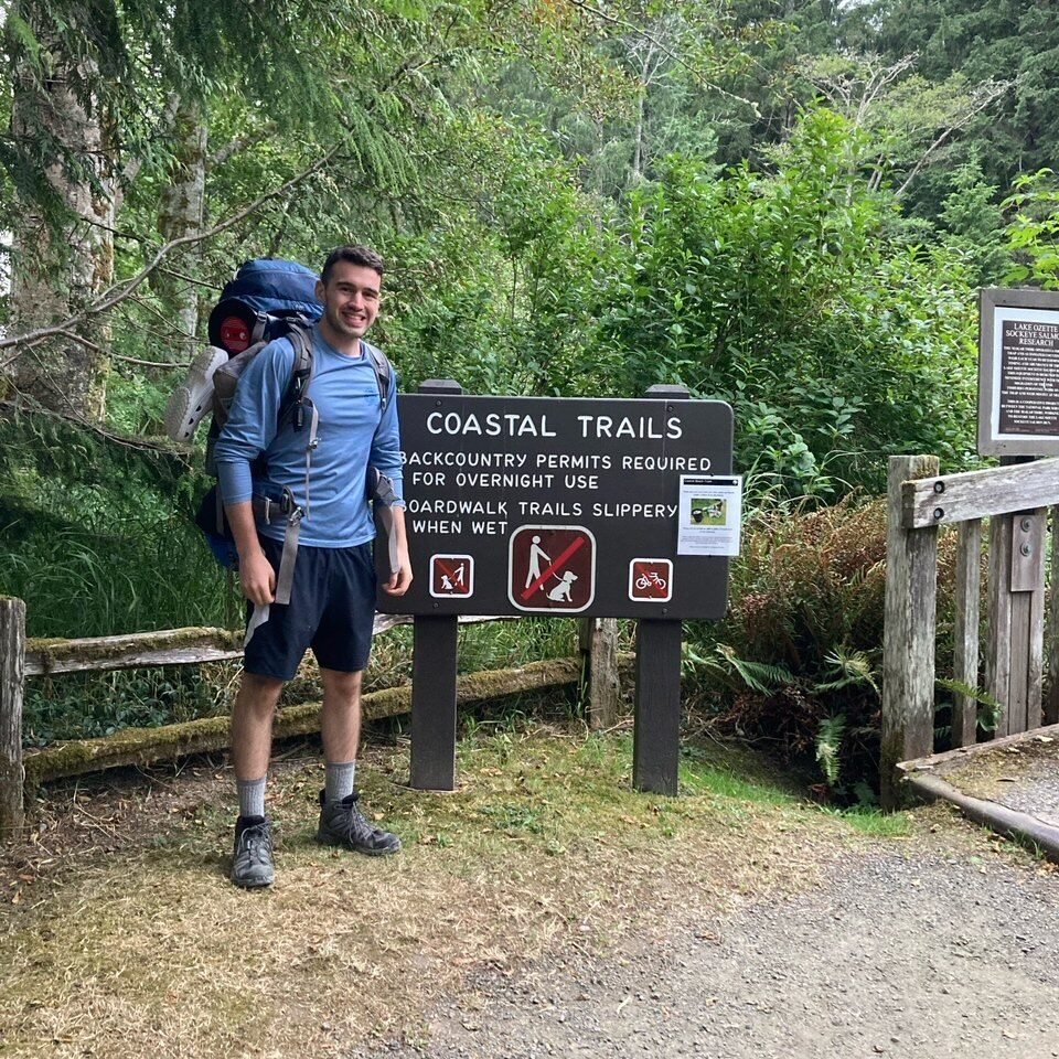
The trail starts by taking you over a short bridge as you leave the Ozette campground area. Past the bridge, you will quickly reach the fork for Sand Point and Cape Alava. We headed to the left towards the Sand Point campsite.

The hike heads through a forested area on a well-maintained trail with moss hanging from the trees. As you continue you will reach a boardwalk passing through coastal wetlands. Most of the boardwalk was in good condition; however, we avoided some boards that were moss-covered and not in the best shape.
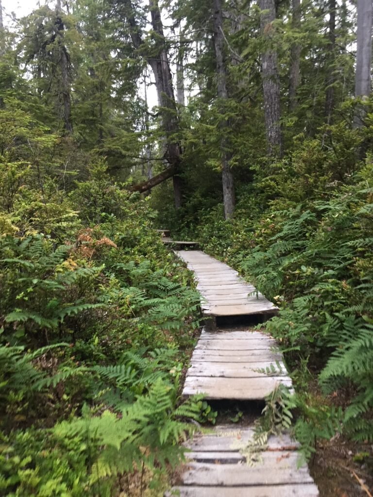
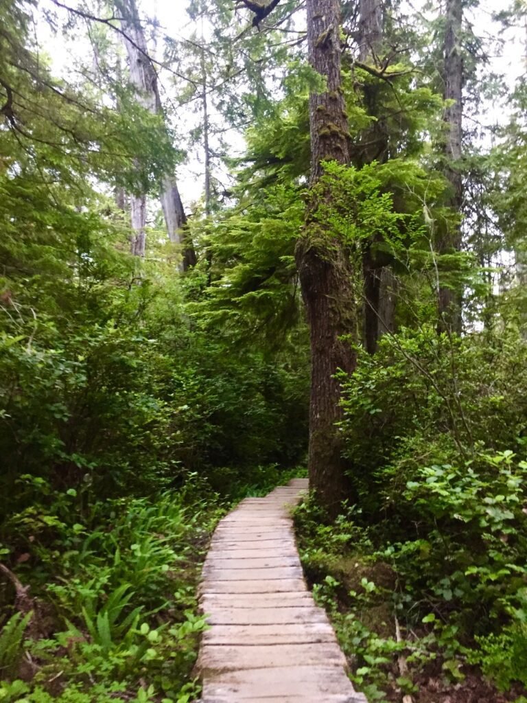
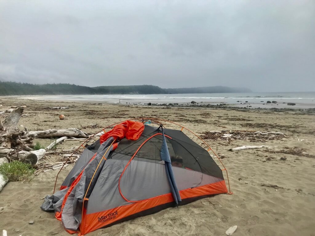
We reached Sand Point as the sun was setting, due to its accessibility the prime locations in the tree line were taken. However, there are a lot of great areas to camp along the beach, so we took a spot on the south side of the trail junction. This was a cool campsite as we were able to fall asleep on the beach to the sound of the waves. I highly recommend you put your rain cover on your tent as clouds of fog can pass through this area, especially in the morning. This helped us and our gear avoid getting completely soaked.
Sand Point to Cape Alava (3.1 miles)
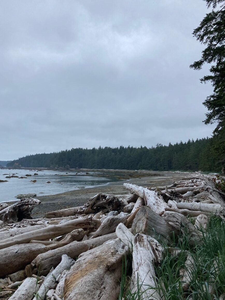
After leaving Sand Point and heading north the trail takes you along the rugged beach coastline. Crossing at low tide gives you easy access to hike as well as a chance to see the ocean ecosystem in the tide pools. Be careful as as the rocks in the tide areas can be very sharp and slippery even with good hiking boots. We ran into a massive dead whale about a mile from camp which was interesting to see up close. However, we were initially downwind and could smell it from a half mile out….
Wedding Rock Petroglyphs
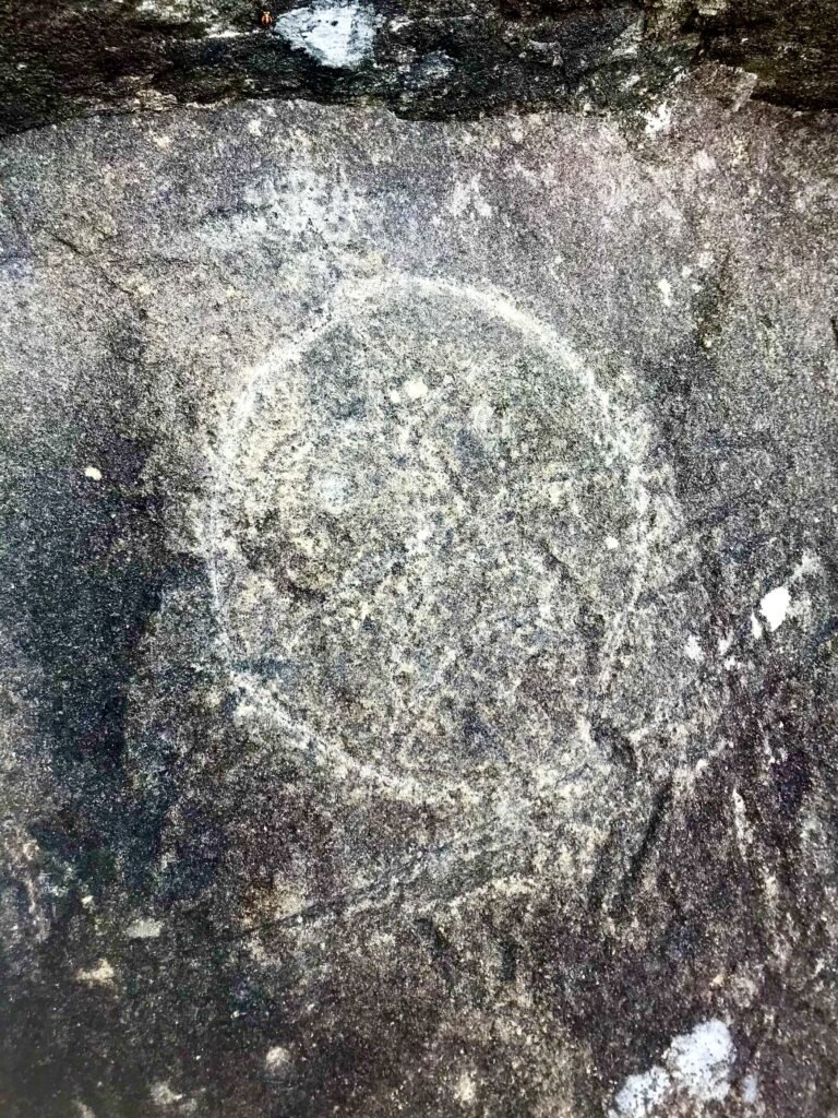
After leaving Sand Point you can find the well-known Wedding Rocks (2.1 mi from Sand Point). Here you can find rock carvings ranging from 300 to 500 years old, carved by the Makah tribe.
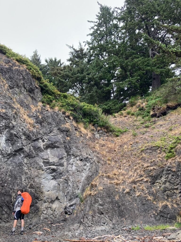
There are no signs or identification pointing out the petroglyphs, so be ready to go on a treasure hunt as some of them are well hidden. It’s best to do this at low tide to access all of them.
The last mile of the beach heading towards Cape Alava is a little more difficult even at low tide. Several trees have fallen across the beach which requires you to bypass them on the ocean rocks or climb over/under them.
Cape Alava to Ozette Triangle Trail Head (3.1 miles)
When you reach the trail junction at Cape Alava you can access Tskawahyah Island via a sand bar at low tide. This is the westernmost point in the contiguous United States as well as the PNW trail.

The junction to the Cape Alava trail can be identified by a red and black trail marker. the Cape Alava section has a bit more elevation than the Sand Point trail, but overall it is a similar trail following boardwalks and moss-covered forest trails. This makes for an easy way out to finish the trip after a long walk on the varied beach terrain.

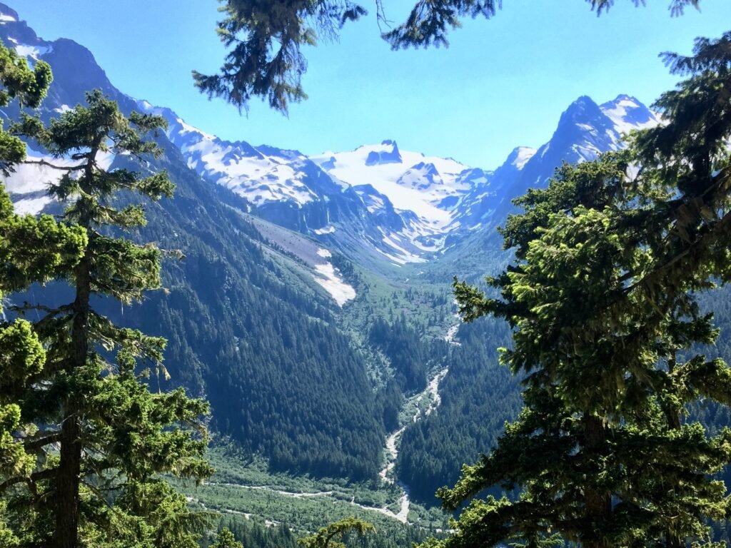
For other awesome hikes in Olympic National Park see our trail guide for the Hoh River to Blue Glacier Trail for a challenging multi-day backpacking trip!

